Web-enabled panoramic point cloud viewer.
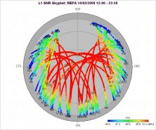
Multi-purpose GNSS data analysis tool.
Geospatial mapping and analysis tool with ESRI file support.
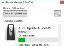
Checkes for available software and firmware updates for the Leica products.
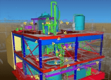
Combines visual geographic information with sophisticated computer applications.